
North to Alaska, A 1400nm Journey
Part 1: Anacortes, WA, to Port Rupert, BC
By Ken von Felton
Just as spring was starting to warm the Midcoast, I found myself headed in the wrong direction (or is it the right direction?) North to Alaska.
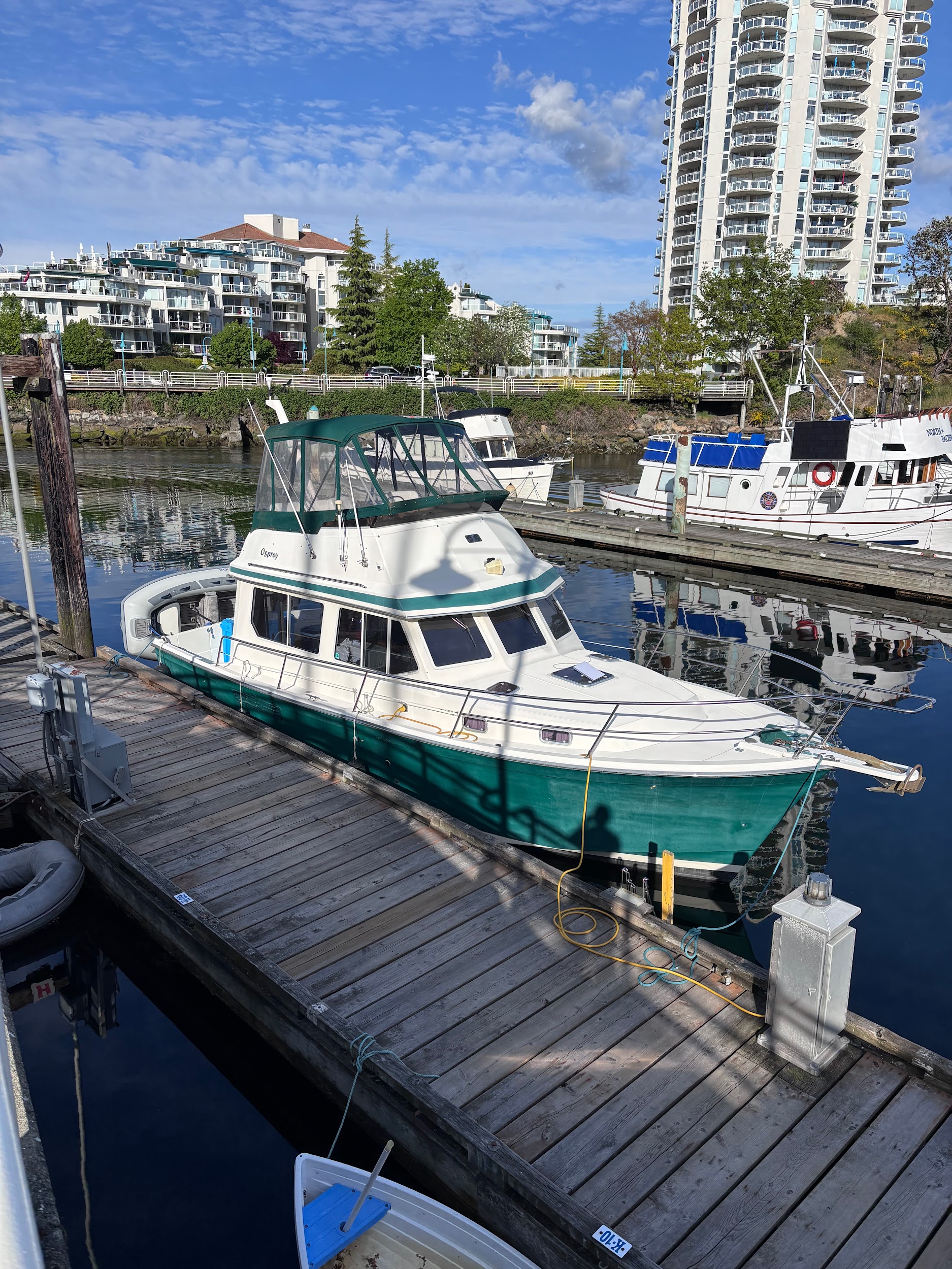
About a year ago my brother-in-law (henceforth called “the captain”) bought a 1995 Sabreline 34. Over the last year he had the twin 6-cylinder Cummings diesels rebuilt, and had started to organize and learn the boat. Problem is he lives in Soldotna, Alaska, on the Kenai Peninsula and the boat was in Anacortes Washington. Thus the need to deliver the boat north. He was looking for crew, so starts my adventure.
As he is still working, we had the goal to move the boat in 17 days as far as possible up the inside passage towards Seward Alaska, a total distance of around 1400 miles. Once there, his plan was to bring Osprey around the SW side of the Kenai Peninsula into Kamchatka Bay later over the summer. Given this timeline and time table, our trip was not a leisurely transit but still promised to afford quite an experience. And so far, it has!
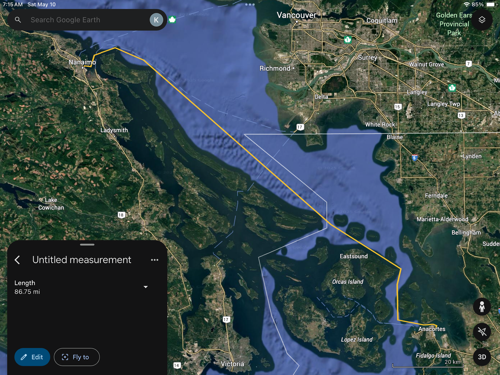
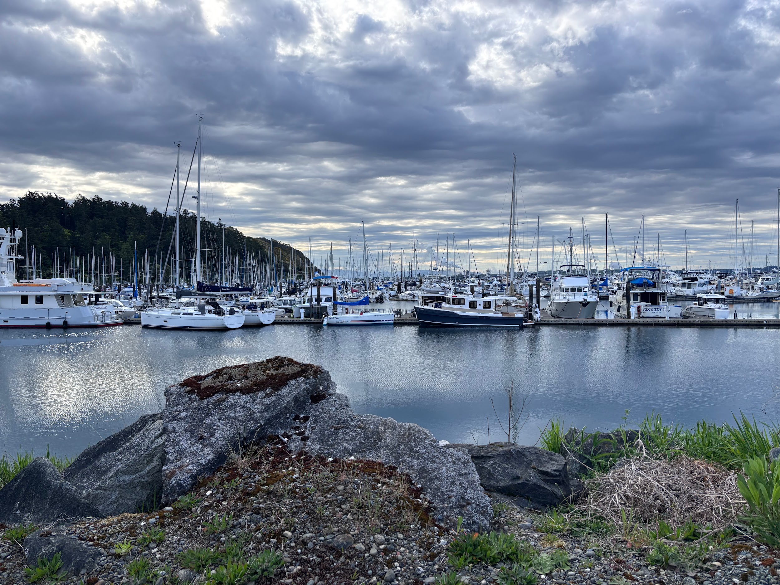
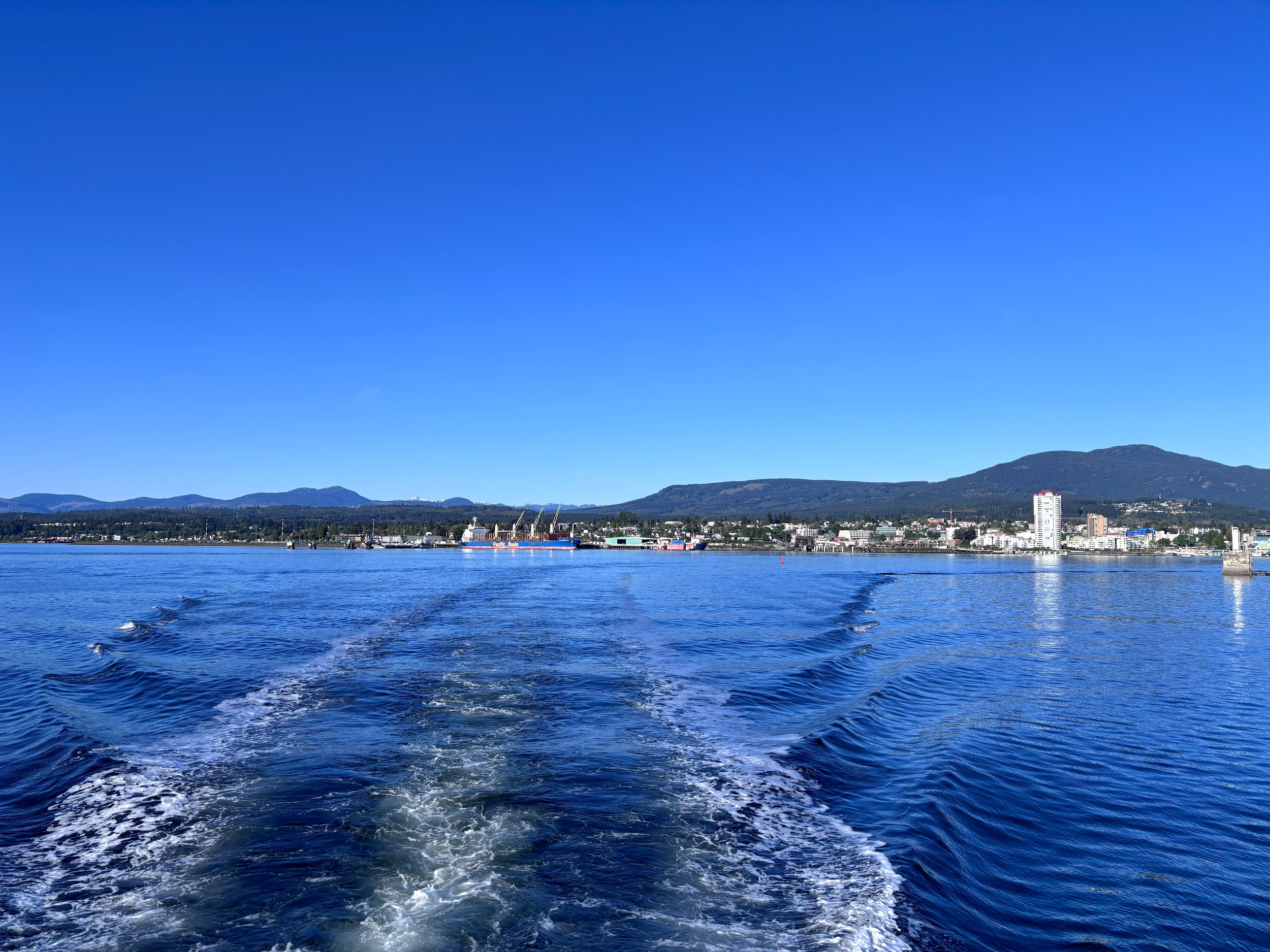
Day 1: Anacortes to Nanaimo (87 miles)
We left Anacortes mid-day on May 7th under blue skies and temps in the 60s, planning to do a border crossing and check in at Nanaimo BC. While our best fuel efficiency is at about 1250 RPM giving about 9 knots, we pushed it harder for the 87 mi first leg.
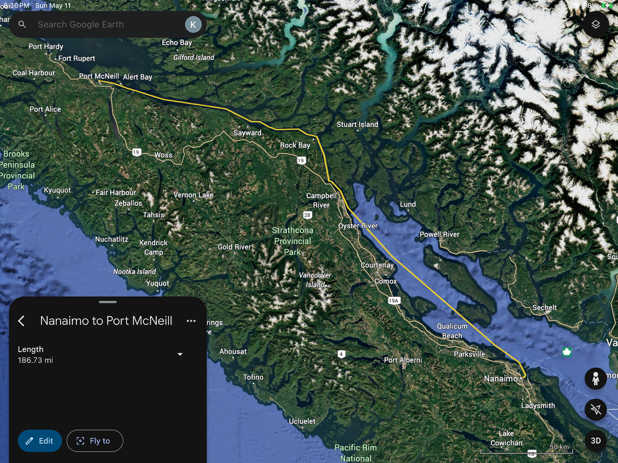
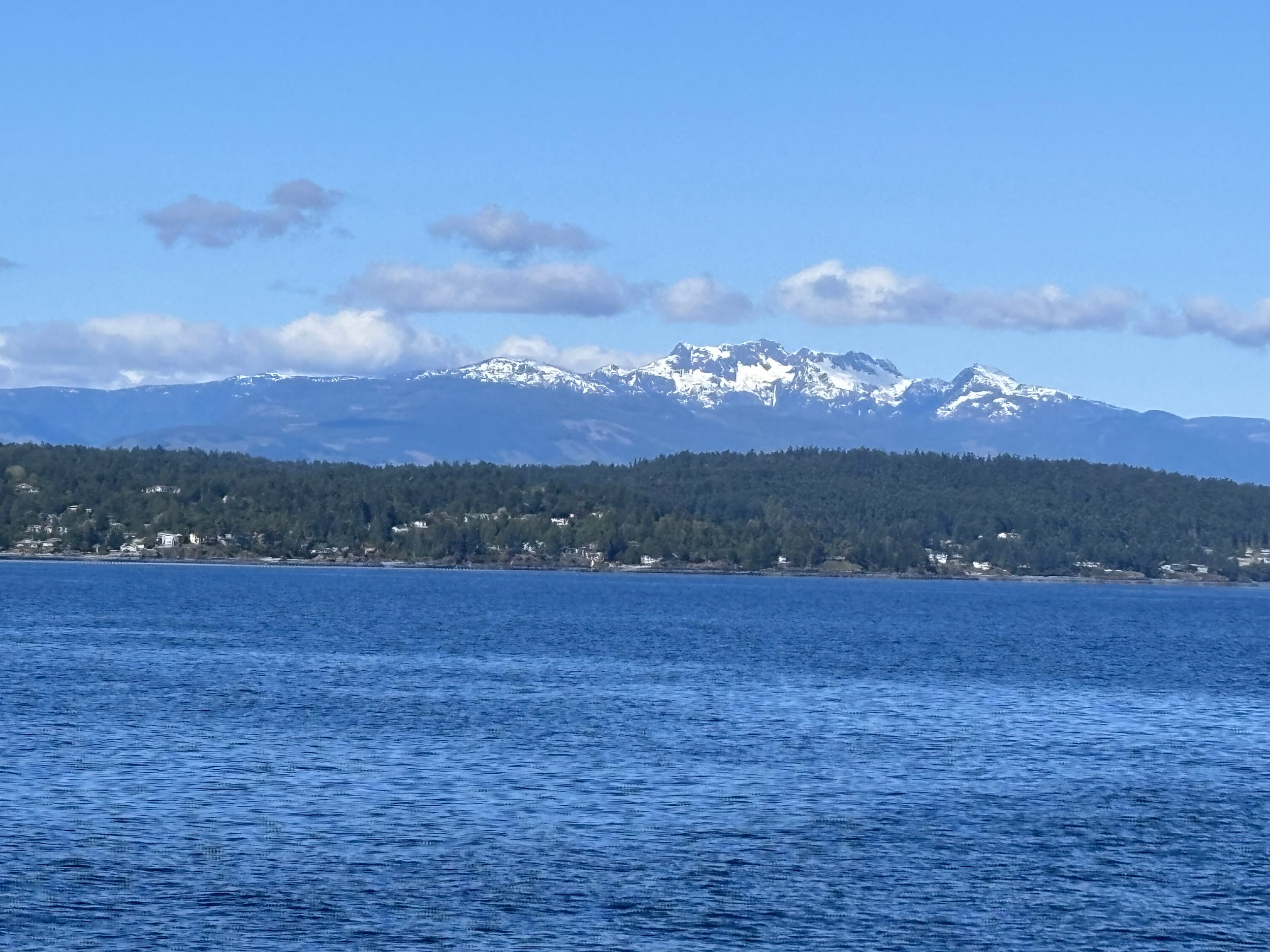
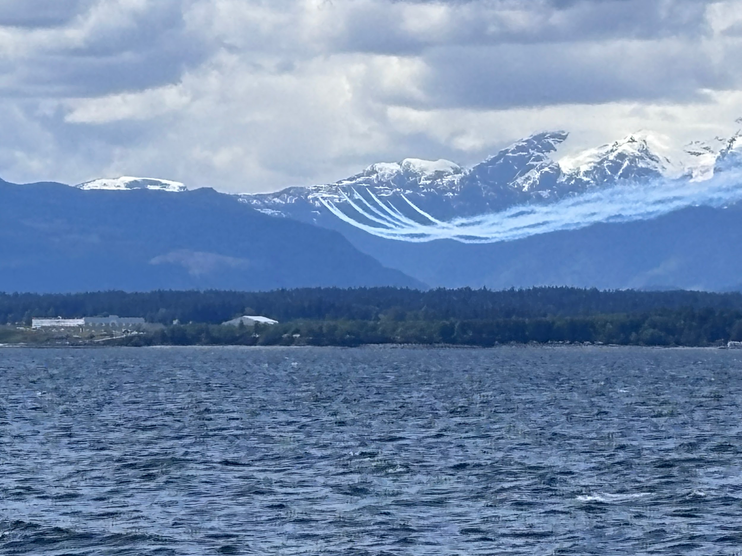
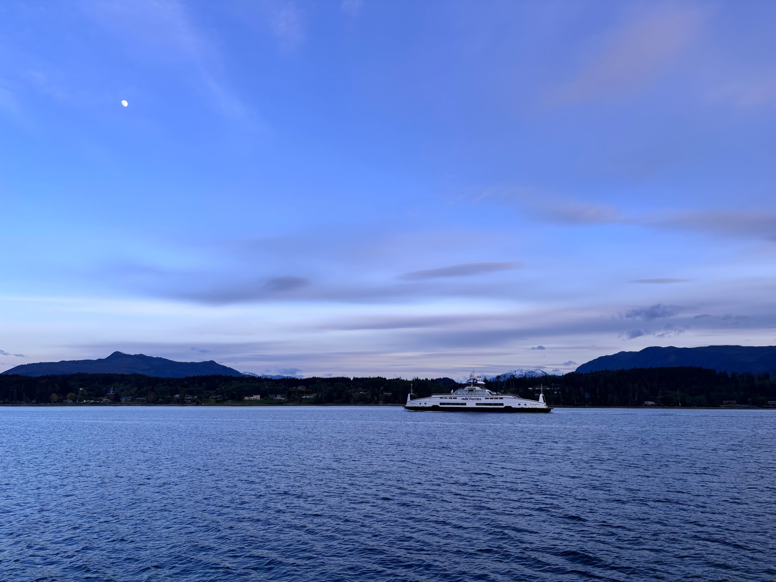
Day 2: Nanaimo to Port McNeill (186 miles)
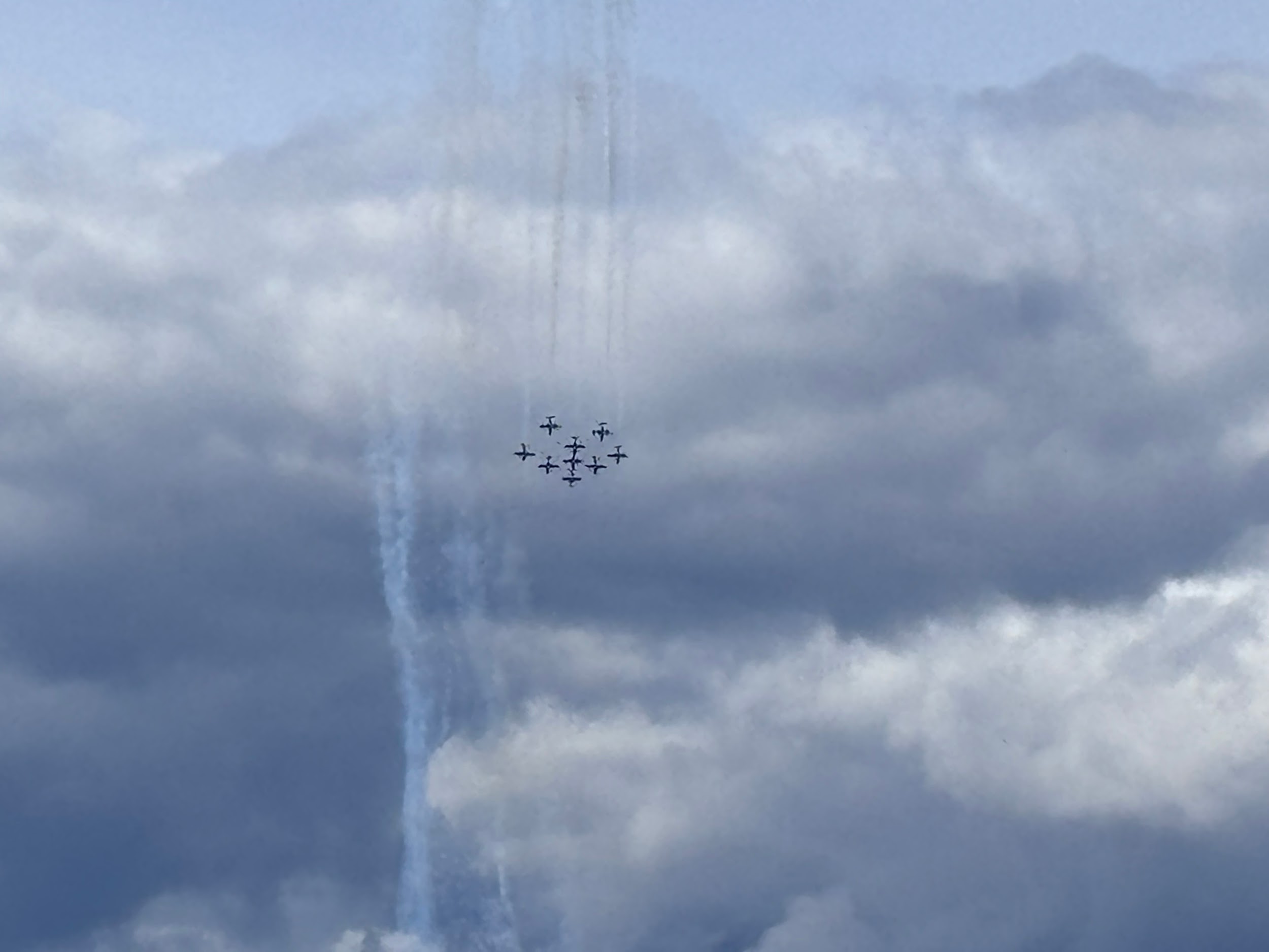
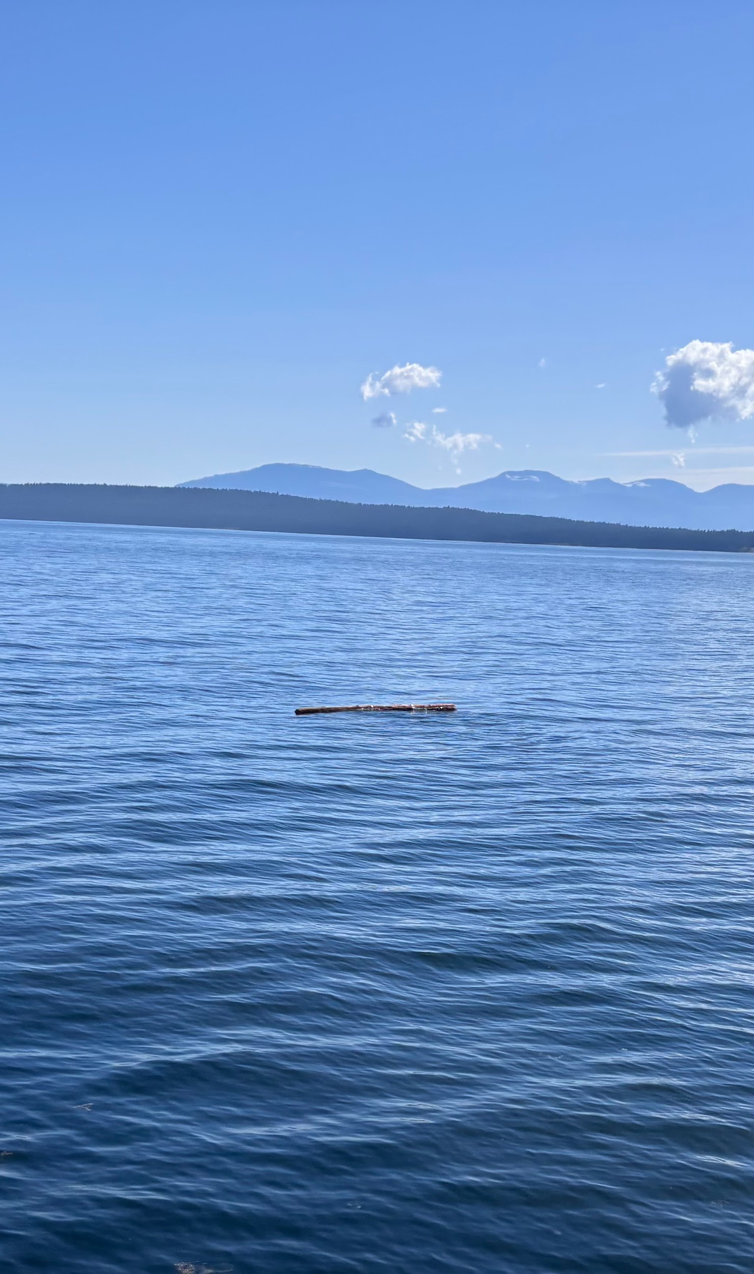
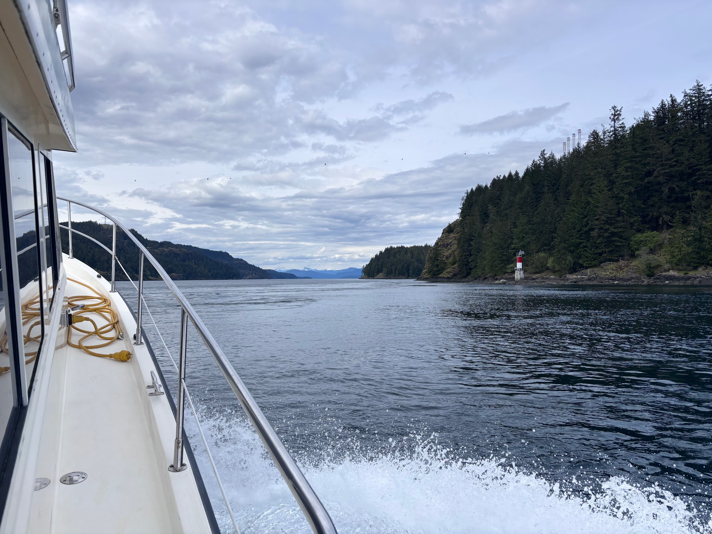
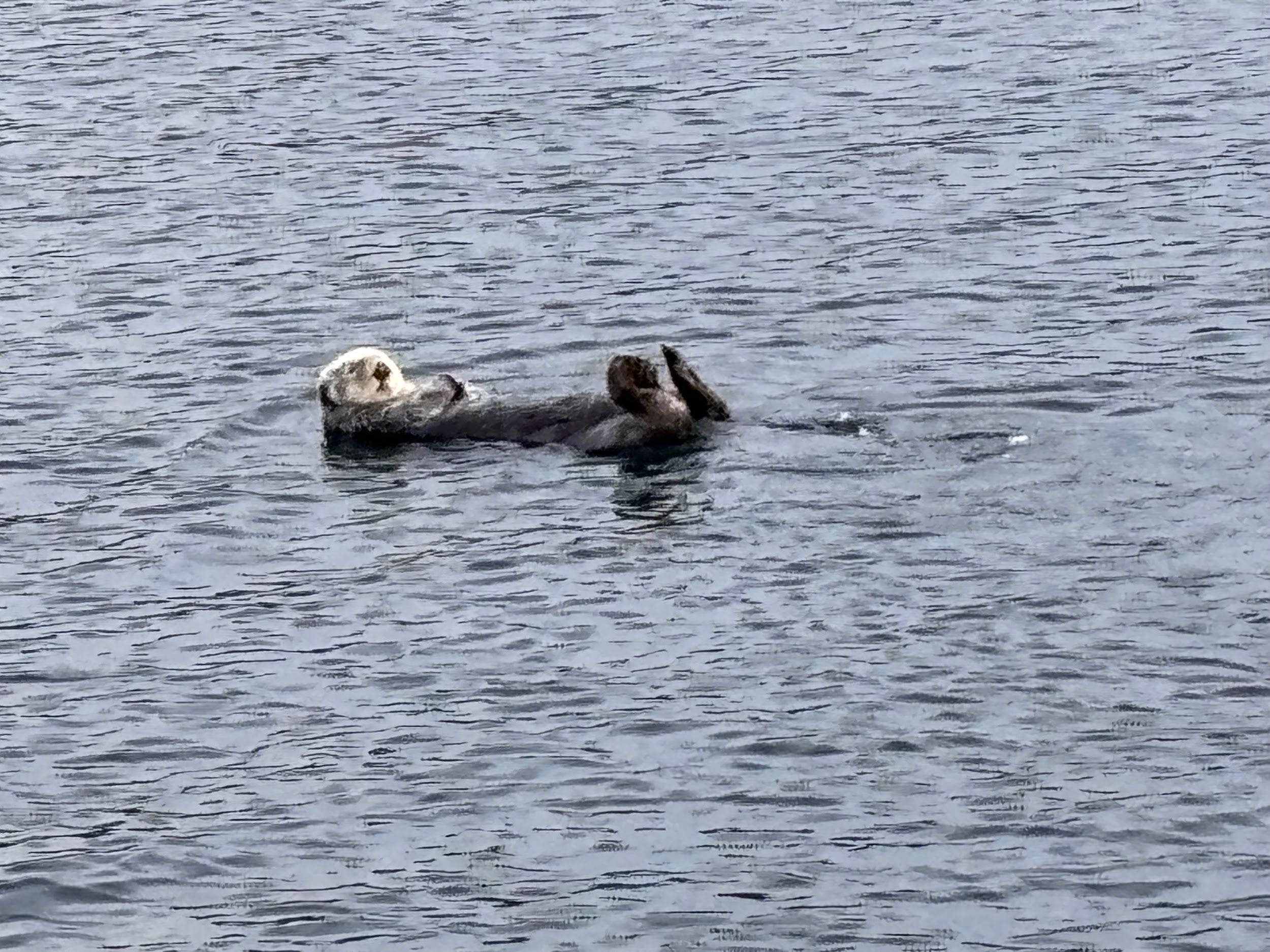
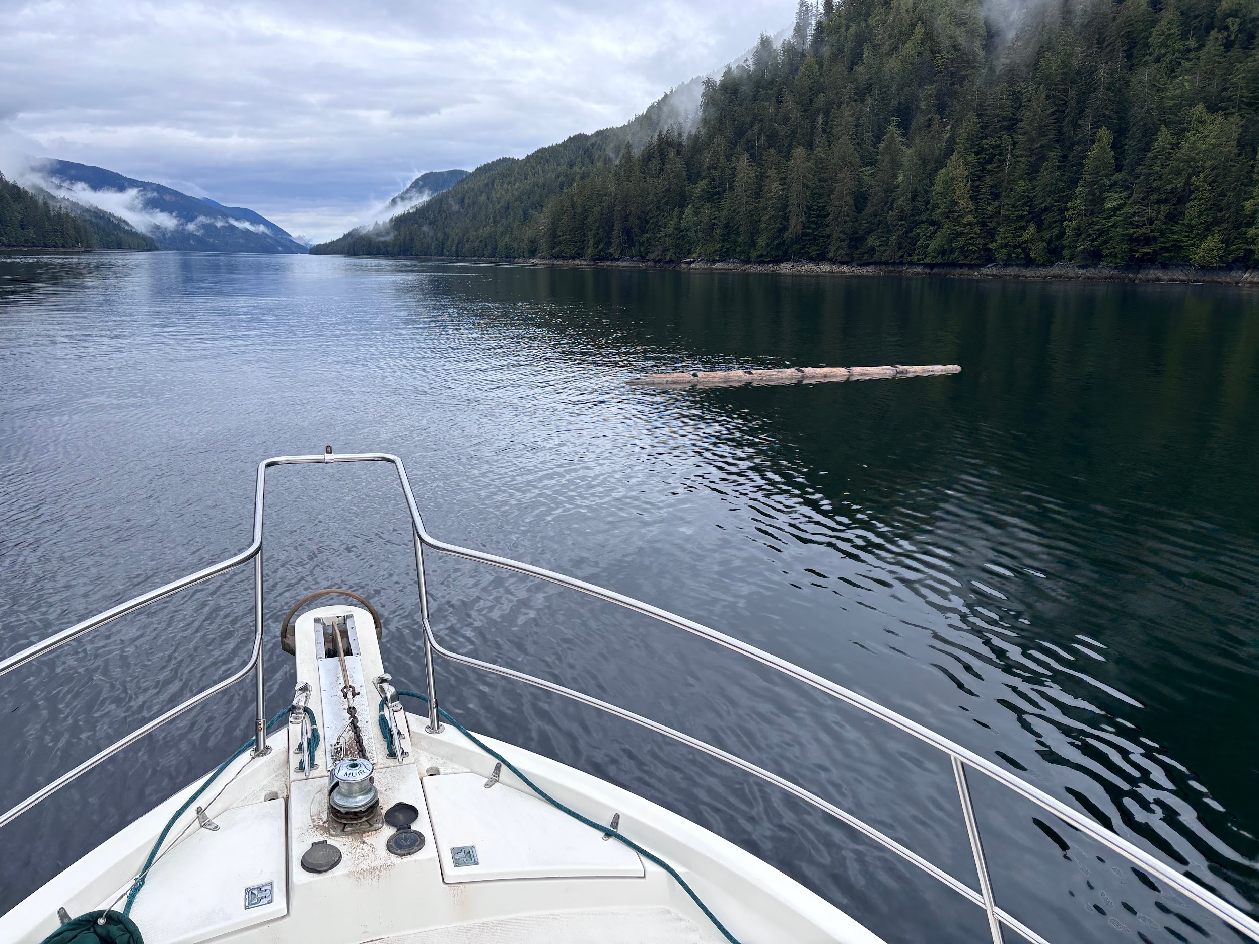
After a warm and uneventful reception from the Canadian Border Patrol, it was off to Port McNeill 186 miles away. We transited the Strait of Georgia, Desolation Sound, Discovery Passage, and the Nodales Channel. In Maine, we are always dodging lobster pots and fog. But along this route there are different navigational hazards: floating logs and mysterious tidal currents (at least to us). There were also the friendly natives of the animal kingdom and the Canadian Snowbirds, who were practicing their formation flying. We got an unplanned air show as the locals waved hi.
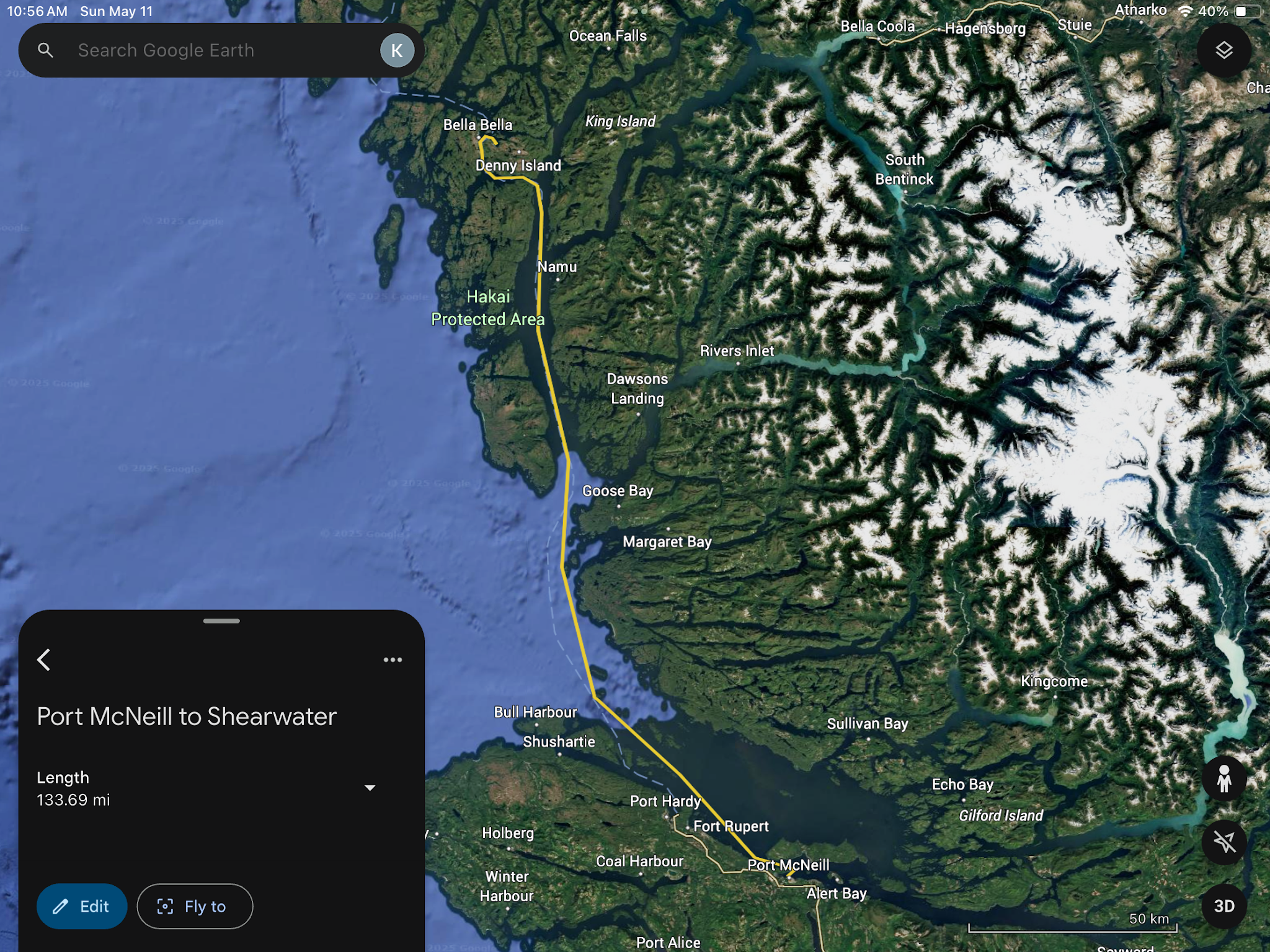
Day 3: Port McNeill to Bella Bella (134 miles)
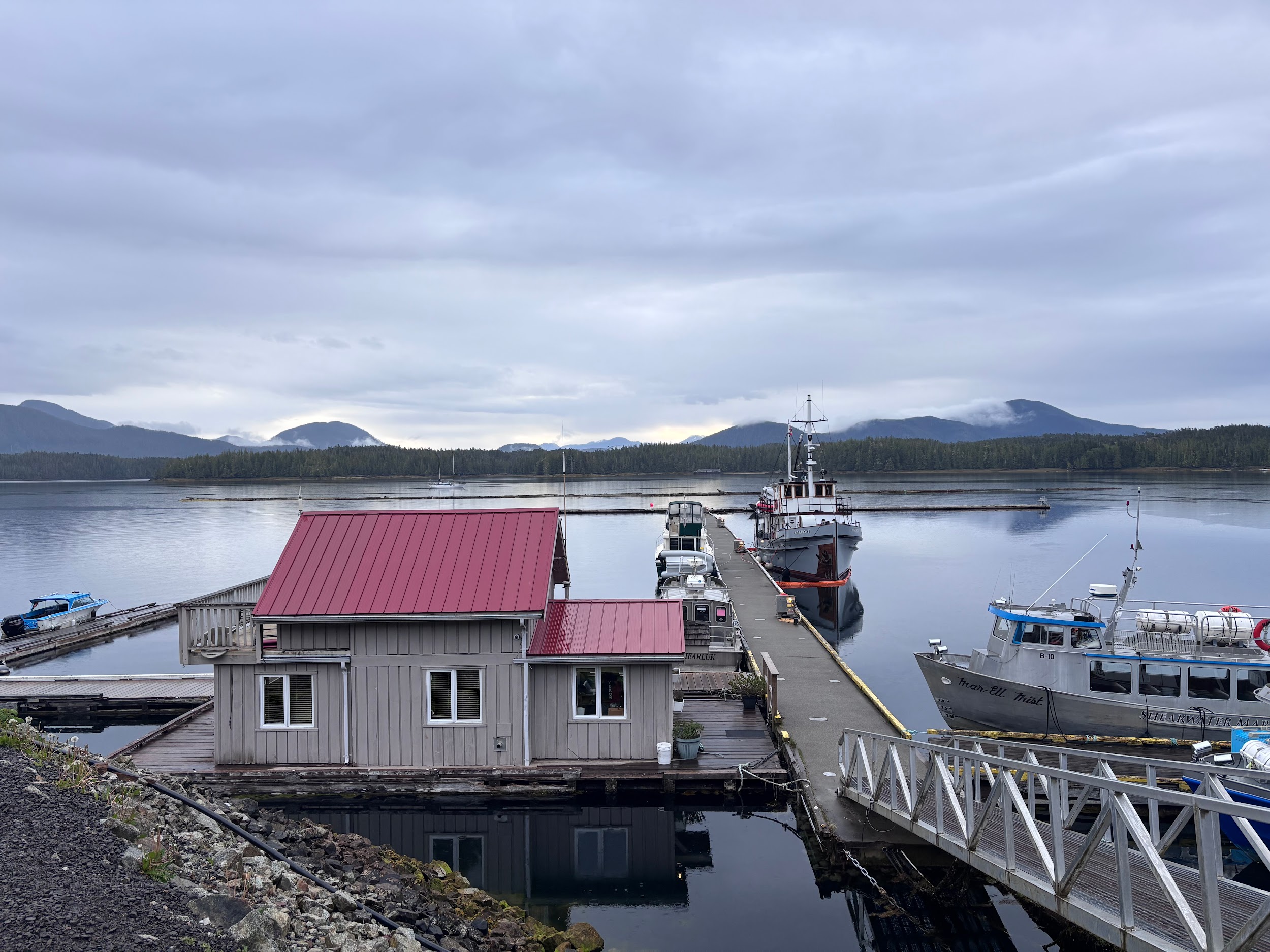
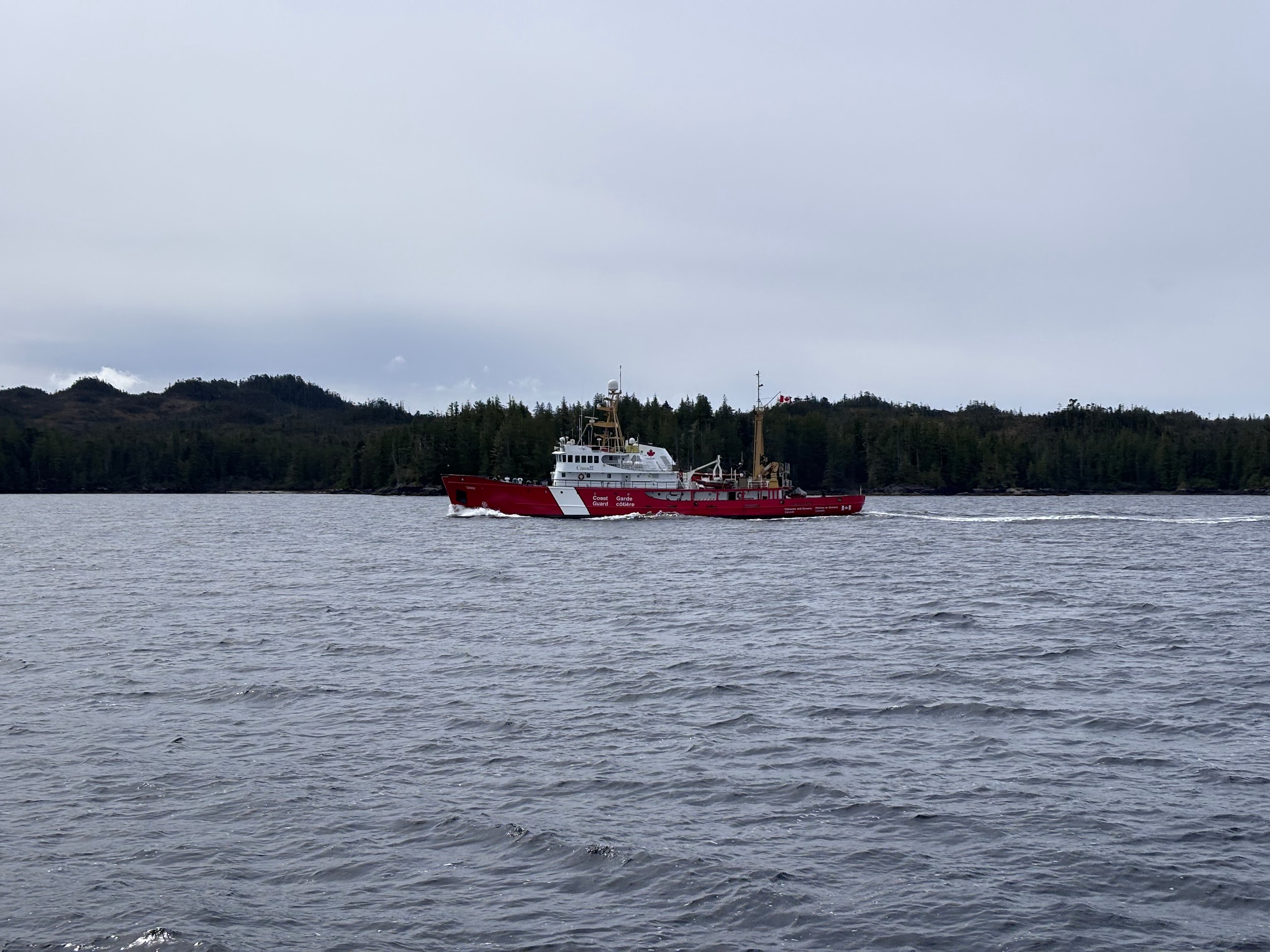
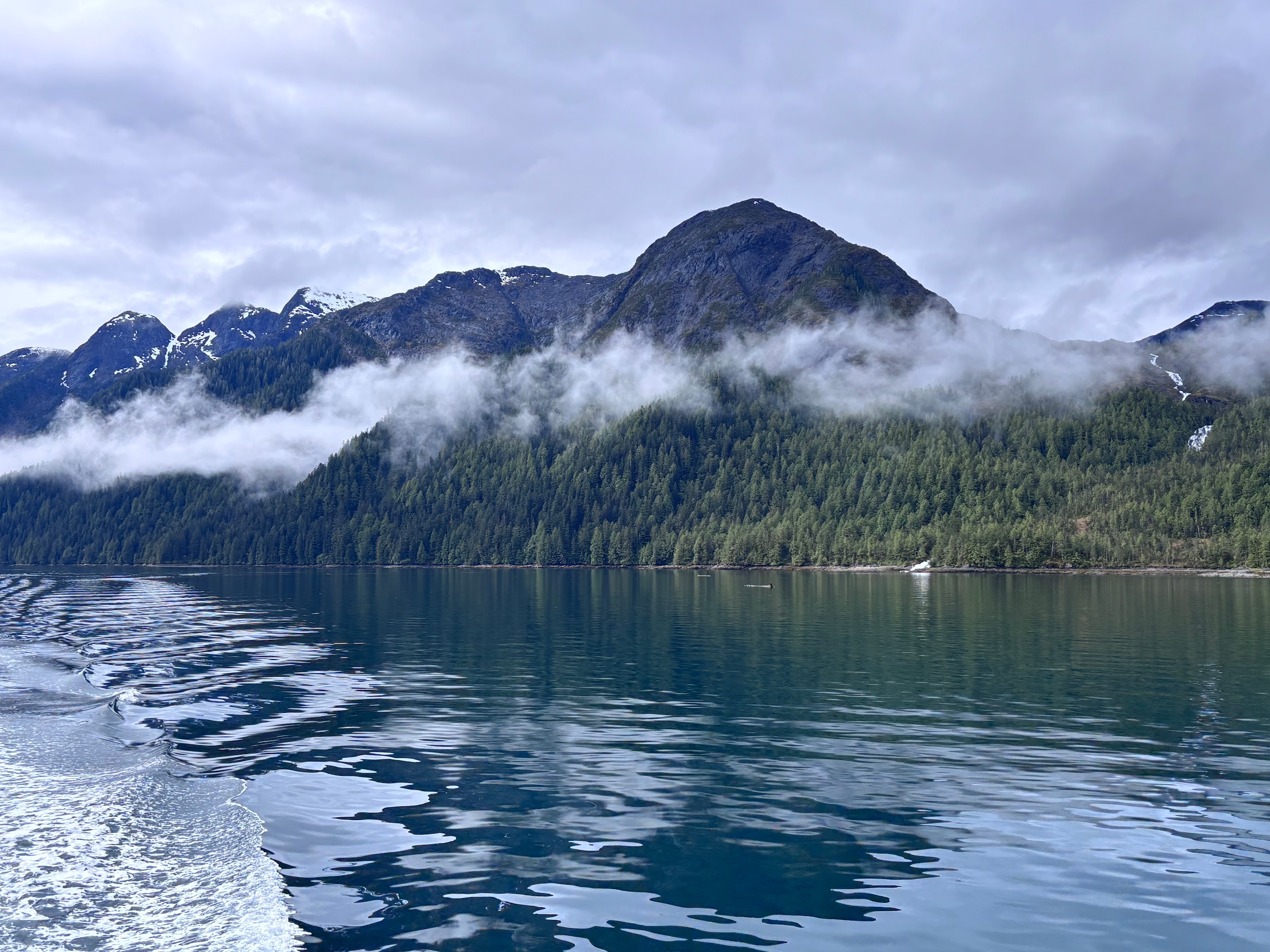
From Port McNeill, we made a run under favorable conditions through Smith Sound, around Cape Caution, and through Fitz Hugh Sound to Bella Bella.
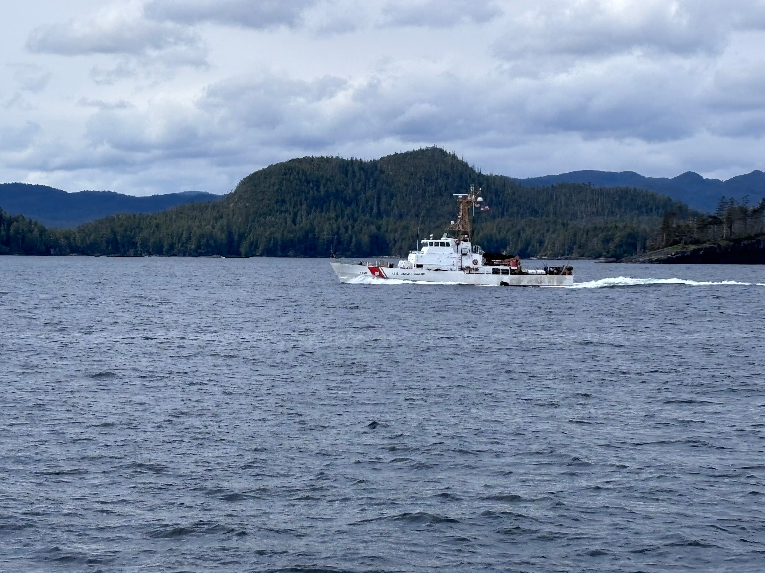
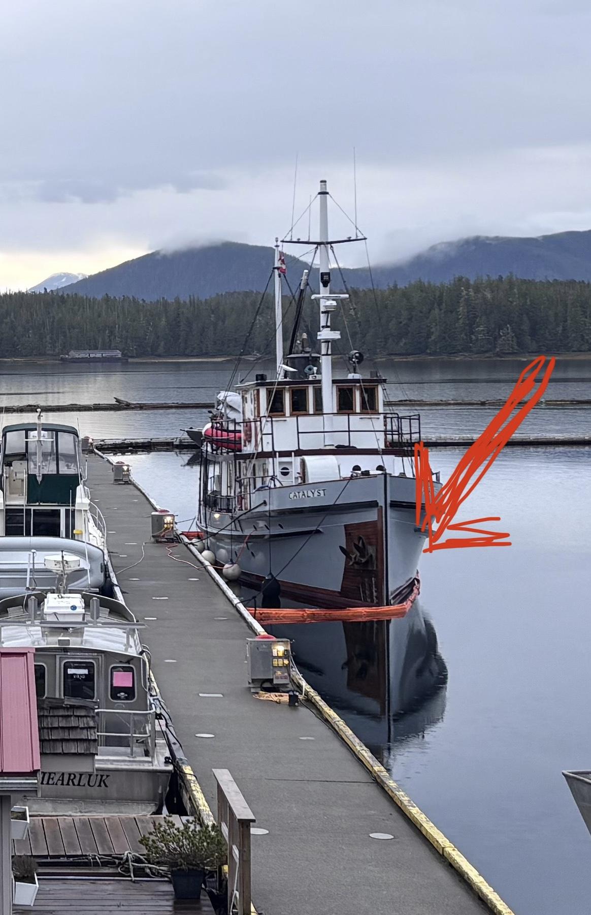
(Below) - Sadly this historic wooden yacht used for private eco cruises, hit a rock, we heard the radio traffic and were once again happy to have the Coast Guard presence. In this case Canadian.
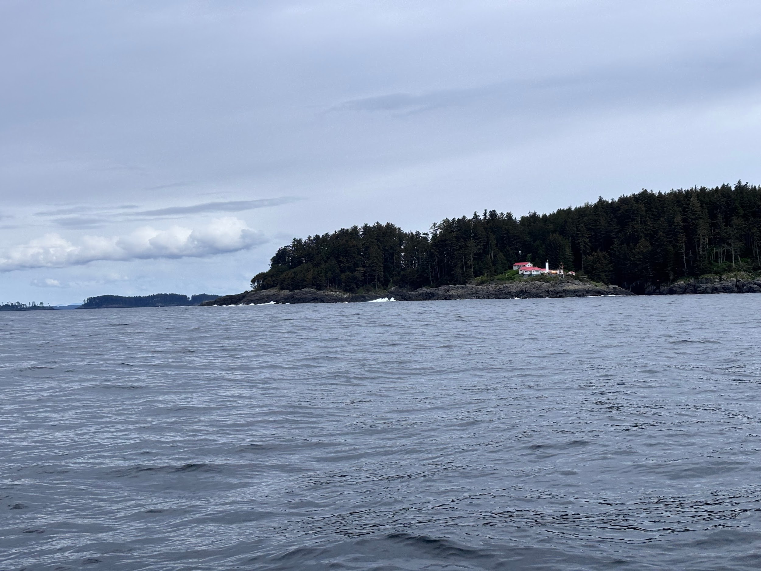
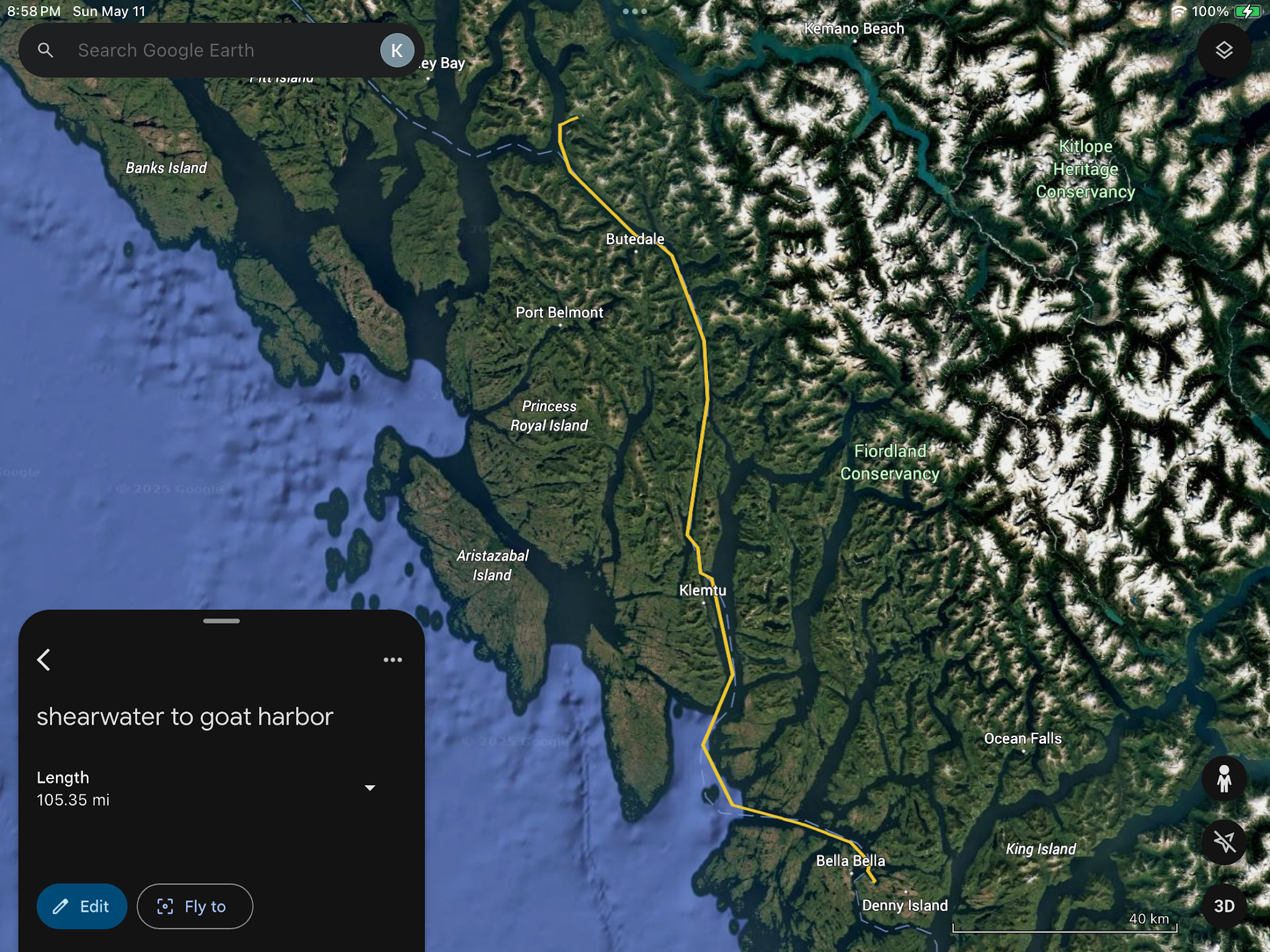
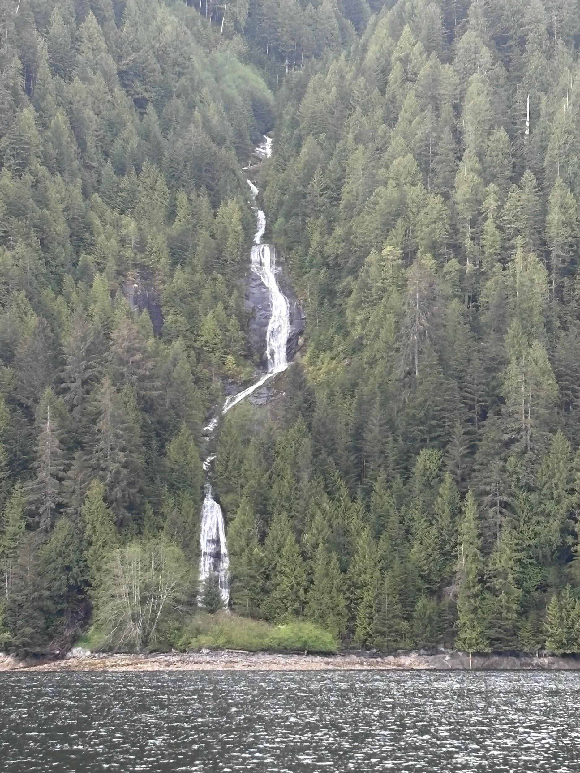
Day 4: Bella Bella to Goat Harbor (105 miles)
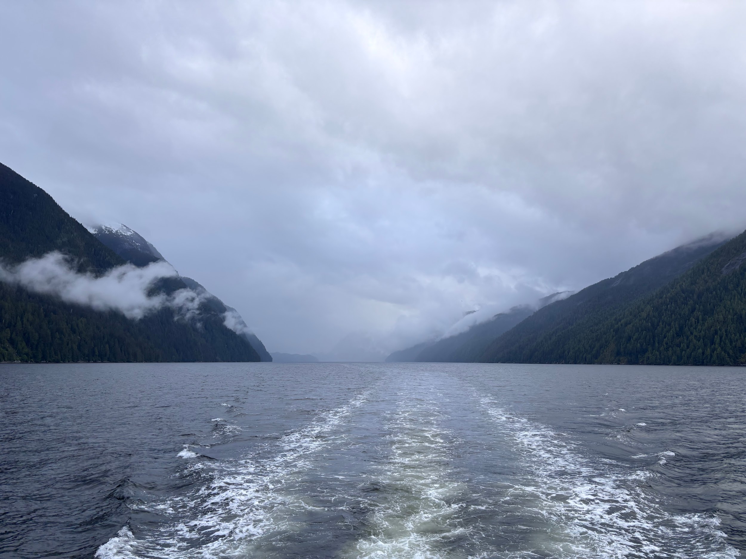
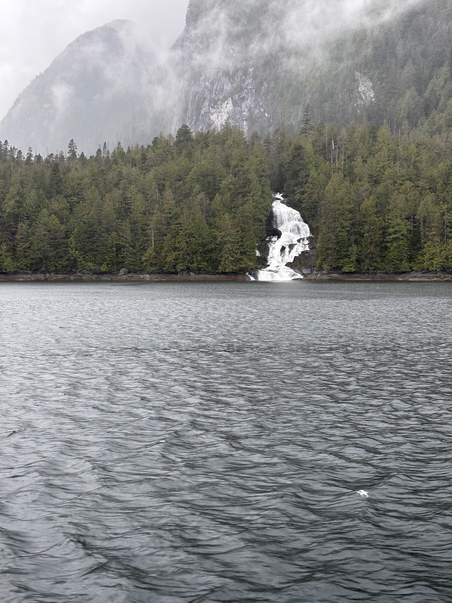
From Bella Bella, we headed 105 miles through Milbanke Sound, Finlayson Channel, Fraser and Graham Reach till we dropped the hook in Goat Harbor. Calm waters with waterfalls a plenty.
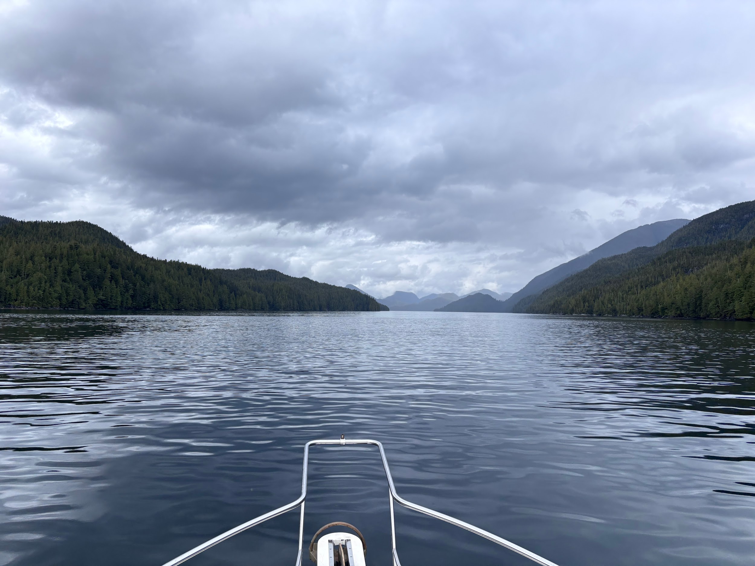
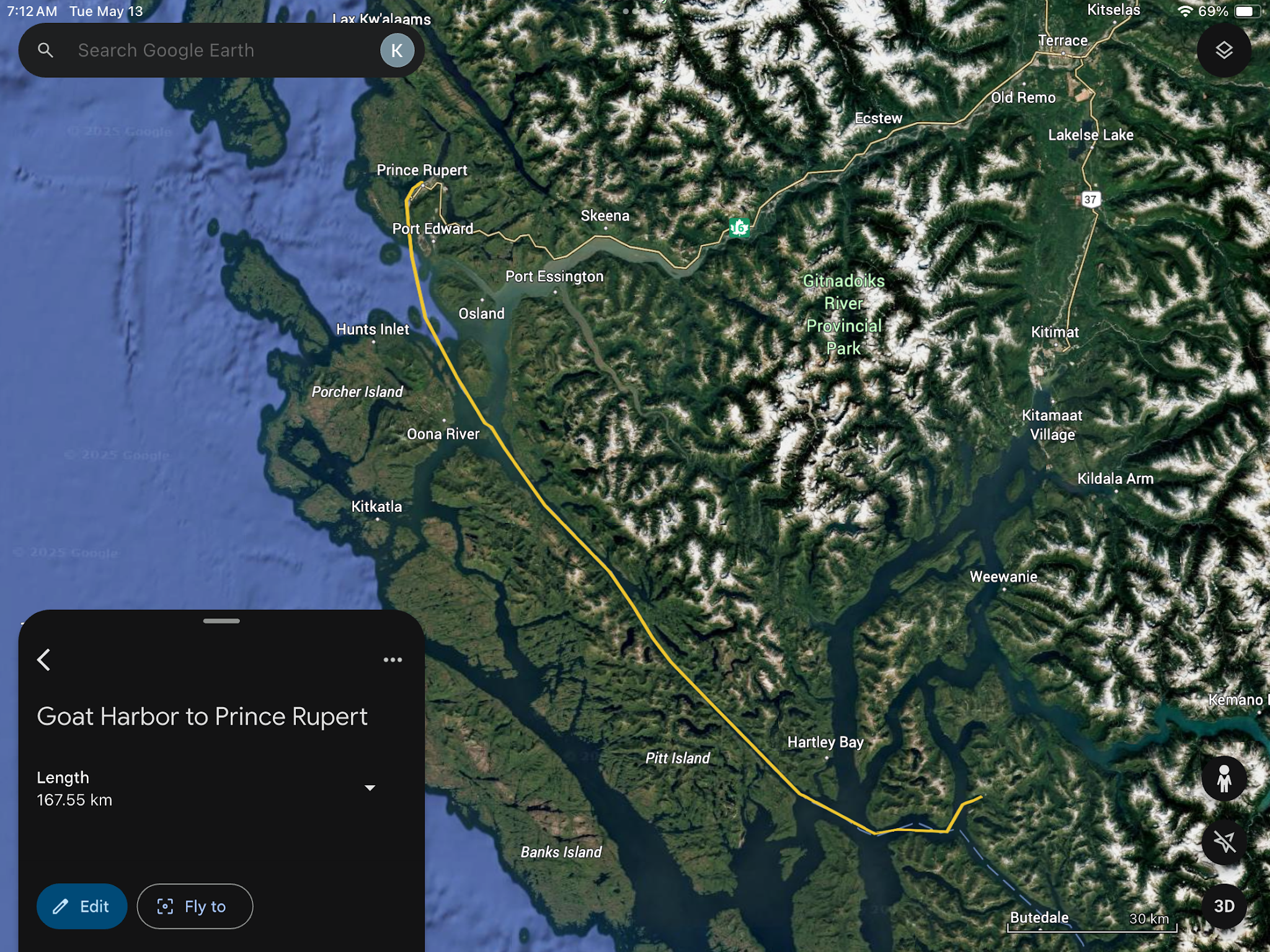
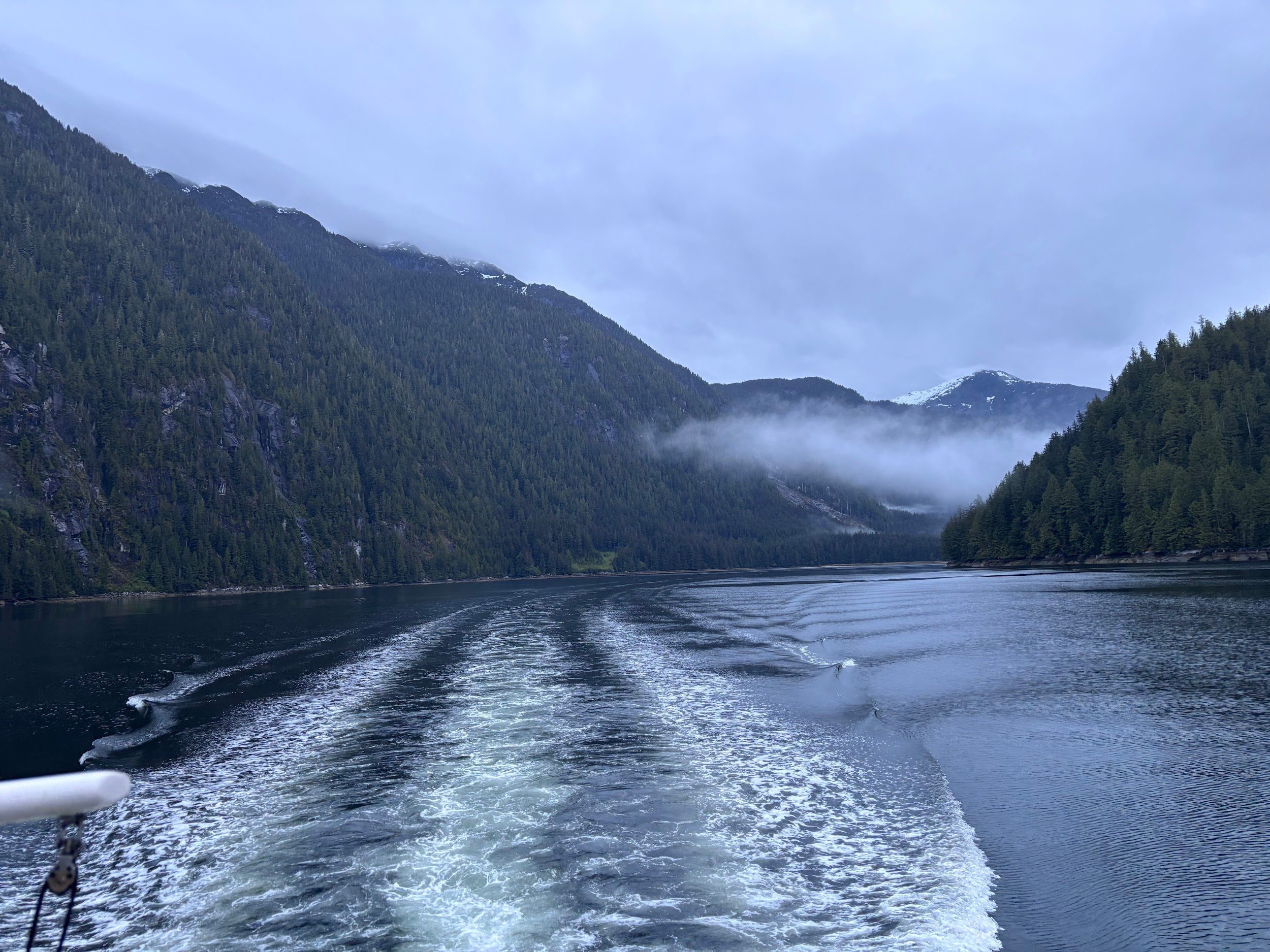
Day 5: Goat Harbor to Prince Rupert (167 miles)
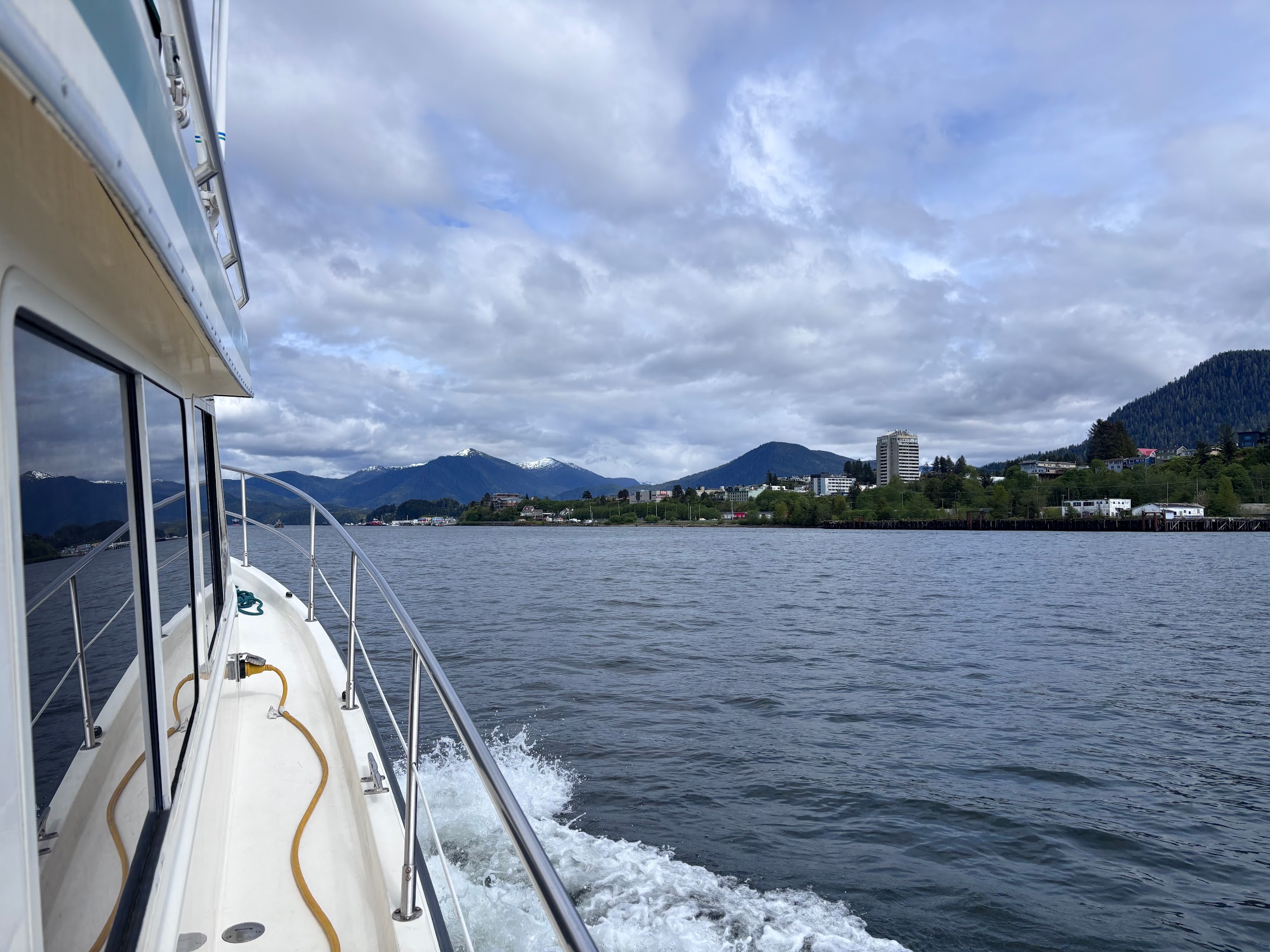
From Goat Harbor we were bound for our last stop in BC, Prince Rupert, through the incredibly straight Greenville Channel. We luckily timed the mystery tidal currents so they pushed us along till a tide change half-way, then pushed us all the way to Prince Rupert.
Onward!
On our next leg, we will be crossing back into the US. I will pick up Part 2 when I am back home in Maine in time to drive the launch, and sail with Liz on our boat Experience …with a few more miles under my belt. Till then fair winds and following seas!
Comments
You must logged in on the sidebar to view and add comments.
